Mark the last-known point
Save a map pin for the shot location, last blood and direction the deer traveled.
Hunting-season service
Provide the shot location, hunting method, observed shot placement, direction of travel, blood trail or blood color, time of shot and last-known coordinates. VDS evaluates the Tennessee recovery location and current search conditions before deployment.
What to expect
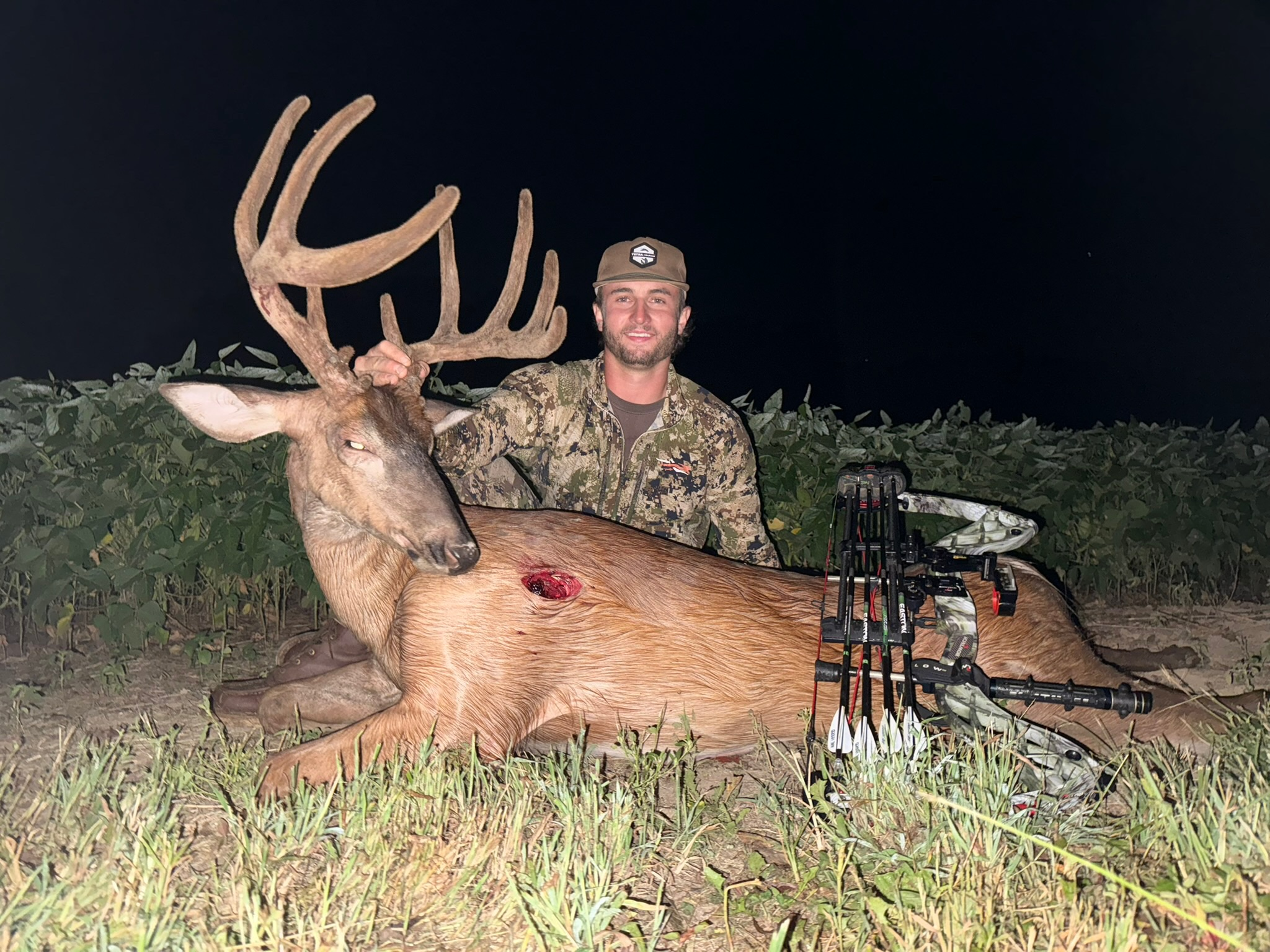
Volunteer Drone Services provides thermal drone deer recovery across Middle and East Tennessee, helping hunters search difficult terrain and make an informed recovery decision.
Save a map pin for the shot location, last blood and direction the deer traveled.
Call or text with timing, terrain, observed reaction and any tracking already completed.
The pilot evaluates airspace, access, weather and thermal conditions before beginning.
Service details
Reach out to VDS for a quote based on search time and mileage.
Tennessee regional response
Contact the pilot based nearest your search location for deer recovery, availability and a quote.
Middle Tennessee
Branson coordinates thermal drone deer recovery from Manchester. Middle Tennessee searches are planned around the shot site, last blood, direction of travel, property access, terrain and the time that has passed since the shot.
Middle Tennessee and locations west of Chattanooga
Priority communities
East Tennessee
Will coordinates thermal drone deer recovery from Maryville. East Tennessee searches are evaluated using shot information, last-known coordinates, steep or wooded terrain, access, travel time, airspace and thermal conditions.
East Tennessee and locations east of Chattanooga
Priority communities
The normal response area is approximately 100 miles from Manchester or Maryville. Chattanooga-area requests are routed according to the exact recovery location. Every deployment remains subject to pilot availability, travel, weather, airspace and safe property access.
Request a quote
Tell us about your recovery and the search location. VDS will review the details and can respond to your email about availability and a quote based on search time and mileage.
For an urgent search, call or text your regional contact.
Tennessee Deer Recovery questions
Provide the shot location, hunting method, observed shot placement, deer reaction, direction of travel, last blood, blood color, time of shot and the best available map pins or coordinates.
Contact VDS as soon as you decide aerial recovery may be needed. Preserving accurate shot and last-blood locations gives the pilot better information for evaluating the search.
The deer recovery inquiry accepts bow, crossbow, muzzleloader and gun as hunting methods, along with notes about shot placement, blood trail and blood color.
Yes. Branson responds from Manchester for Middle Tennessee, and Will responds from Maryville for East Tennessee. The normal response area is approximately 100 miles from either base, subject to availability and flight conditions.
Yes. Dense cover, steep terrain, temperature, rain, wind, airspace and property access can affect search timing, flight planning and thermal visibility.